Addresses, routes,
maps. One API.
Turn an address into coordinates, compute a route, serve a basemap. Ten REST endpoints on OpenStreetMap data across Europe; you call them, we run the infrastructure.
OpenStreetMap data · Hosted in France 🇫🇷
Your first request
curl -X GET "https://api.geocodeme.net/v1/geocode?q=Alexanderplatz+Berlin&limit=1" \
  -H "X-Api-Key: gm_YOUR_API_KEY"
Response
{ "results": [ { "lat": 52.5219, "lon": 13.4132,
    "display_name": "Alexanderplatz, Mitte, Berlin…",
    "type": "square", "importance": 0.62 } ],
  "meta": { "took_ms": 45 } }
What you will measure
- < 200 ms
- p50 latency, warm cache
- 99.95 %
- 30-day availability
- 24 h
- response cache
- 1 → 25
- requests / second by plan
Ten endpoints, one key
Pick an operation: you see the request, the response and what it costs. They all share the same credit quota; tiles keep their own counter.
Addresses
Routing & analysis
Terrain & network
A free-text address or place becomes a coordinate pair, with the normalised address and an importance score.
Request
curl -X GET "https://api.geocodeme.net/v1/geocode?q=Alexanderplatz+Berlin&limit=5" \
  -H "X-Api-Key: gm_YOUR_API_KEY"
Response
{ "results": [ { "lat": 52.5219, "lon": 13.4132,
    "display_name": "Alexanderplatz, Mitte, Berlin, 10178, DE",
    "type": "square", "importance": 0.62 } ],
  "meta": { "took_ms": 45, "cache_hit": false } }
Coordinates are lon,lat: GeoJSON order, same as the Playground.
Read the docsUnder the hood: open-source geocoding and routing engines (Nominatim, Valhalla, OpenMapTiles) that we operate, update and scale. On your side, it is just an HTTP URL.
What you can wire up with your first key
Six recurring integrations, and the endpoints they combine.
Delivery & logistics
Assign the right depot, plan the round
Geocode the orders, compute the time matrix between depots and customers, then return the chosen route.
- /v1/geocode
- /v1/matrix
- /v1/route
Forms & checkout
An address typed in three keystrokes
Autocomplete offers normalised addresses; reverse geocoding pre-fills the form from the visitor position.
- /v1/autocomplete
- /v1/reverse
Zones & siting
Publish a delivery zone that holds up
A 20-minute isochrone beats a radius in kilometres: the zone follows the roads, not a circle.
- /v1/isochrone
- /v1/nearest
Fleet & field
Replay a GPS trace on the real streets
Map matching snaps noisy points back onto the network and returns street names and speed limits.
- /v1/match
- /v1/elevation
Customer data
A 50,000-address file geocoded overnight
The batch runs in the background, results download as CSV, and failed lines are refunded.
- /v1/batch/geocode
Product maps
A basemap of your own, with no surprise invoice
Raster tiles ready for Leaflet, or vector tiles styled client-side; metered separately from API credits.
- /tiles
- /vector
What geocodeme.net does
Geocoding & search
Forward, reverse and autocomplete across Europe, with confidence scores and a 24h cache.
Routing & analysis
Turn-by-turn routing, isochrones, matrices, enriched map matching and elevation. 5 profiles: car, bike, foot, truck, motorcycle.
Raster & vector tiles
Basemaps at z0 to 20 @2x and PBF tiles on the OpenMapTiles schema, Leaflet & MapLibre, short-lived JWT tokens.
Sovereign & flat-priced
Hosted in France, GDPR by design, signable DPA. Quota reached = HTTP 429, never a surprise invoice.
Coverage: all of Europe from day one
Geocoding, routing and tiles cover the whole of Europe at launch: one instance on the Geofabrik europe extract, one official replication feed, consistent ranking across borders.
The 5 French overseas regions are served by a dedicated instance, transparent through the API: the region registry routes every request to the right database. Other continents follow, region by region.
- Europe
- coverage at launch
- + 5 overseas
- dedicated instance
- continuous
- OSM replication
OverseasGuadeloupe · Martinique · French Guiana · Mayotte · Réunion
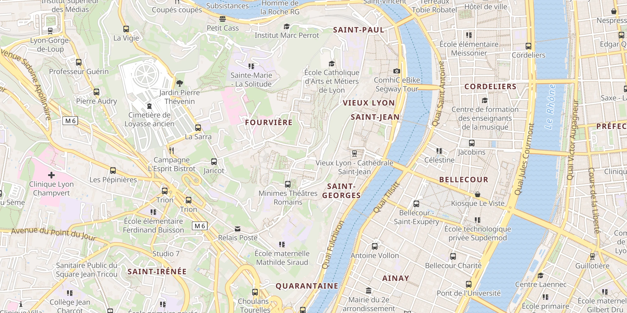
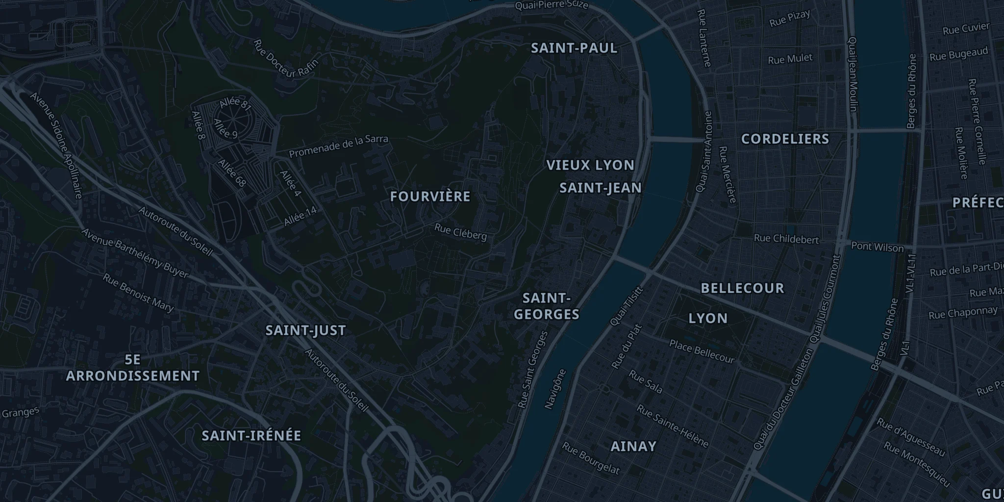
Raster and vector tiles, served from France
A raster XYZ basemap (z0 to 20, @2x, PNG or WebP, light or dark style) and PBF vector tiles on the OpenMapTiles schema, on OpenStreetMap data: compatible with Leaflet & MapLibre, bring your own style, dark mode included.
Secure access with short-lived signed tile tokens (JWT): ideal for web and mobile. Zero-downtime rotation and instant revocation from the dashboard.
- z0 to 20
- raster XYZ · retina
- PBF
- vector tiles
- JWT
- signed tokens
What changes compared with Google Maps
Flat pricing, no surprises
Past the quota, the API returns HTTP 429 until your window resets, or right away if you change plan. Nothing is billed beyond your plan: no bill that explodes.
Real sovereignty
Infrastructure hosted in France (OVH), OpenStreetMap data under ODbL, GDPR by design, signable DPA, no data resale.
10× to 30× cheaper
At equal volume, 100,000 requests cost ~€465 at Google or Mapbox with storage and ~€93 at HERE: on our paid plans the bill stays 10× to 30× lower. Every plan’s exact price is on the Pricing page.
Frequently asked
Do I need to know OpenStreetMap to use it?
No. You call an HTTP URL and get JSON back: no SDK, no database, no data import to manage. OpenStreetMap is simply the data source, and the reason coverage keeps extending region by region and pricing stays low.
What happens if I go over my quota?
The API returns HTTP 429 (QUOTA_EXCEEDED) with the date your window resets, and nothing is billed beyond your plan: no end-of-month surprise. You get an email at 80 % and 100 % of quota, and you can change plan at any time to resume immediately. Not to be confused with the per-second rate limit, whose 429 carries a Retry-After header and is meant to be retried.
Can I store the results on my side?
Yes, for your own application needs, within the ODbL licence of OpenStreetMap data: keep the attribution visible on maps and do not resell the database as such. The details are in the terms and on the Licence & attribution page.
How do I migrate from Google Maps?
Parameters and responses stay close: an address in, lat/lon and a structured address out. Expect a handful of lines to change per call; the docs give field-by-field mappings for each endpoint.
Opening soon
Signups aren't open yet. Leave your email and we'll let you know at launch: no spam, just the announcement.